Showing 1 to 20 of 20 - Accommodation in Baviaanskloof
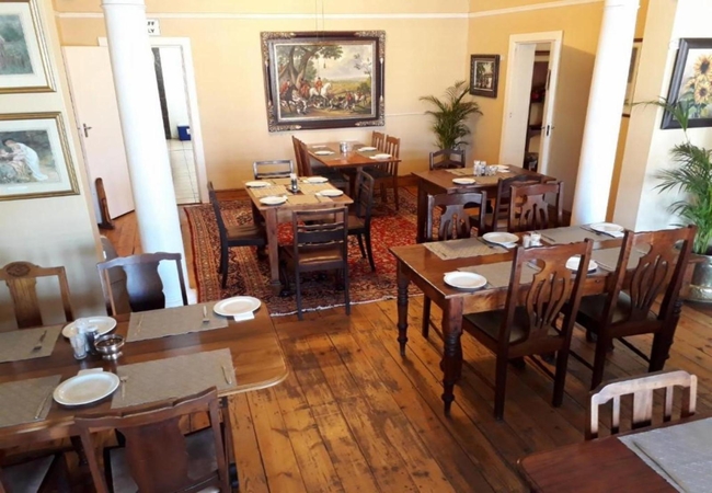
Sleeps 19 people in 10 rooms
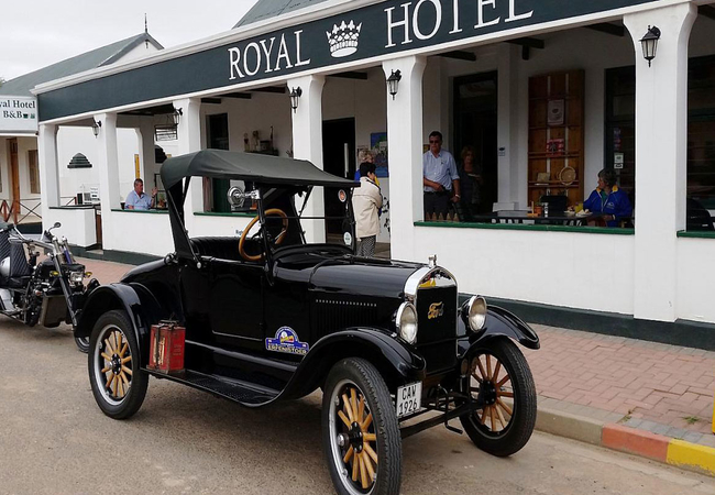
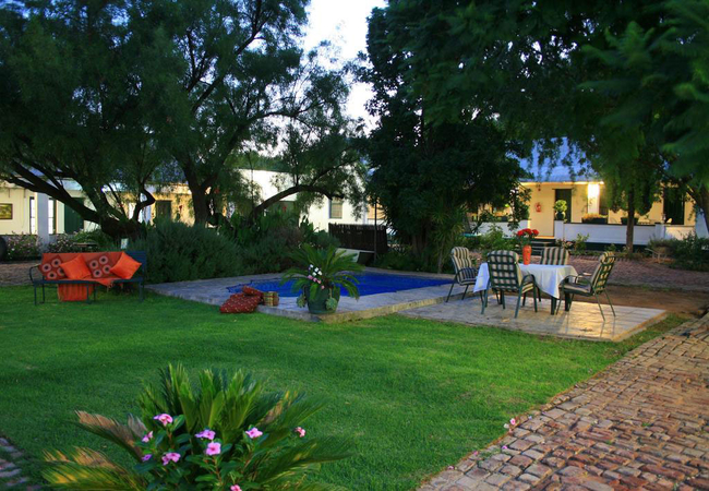
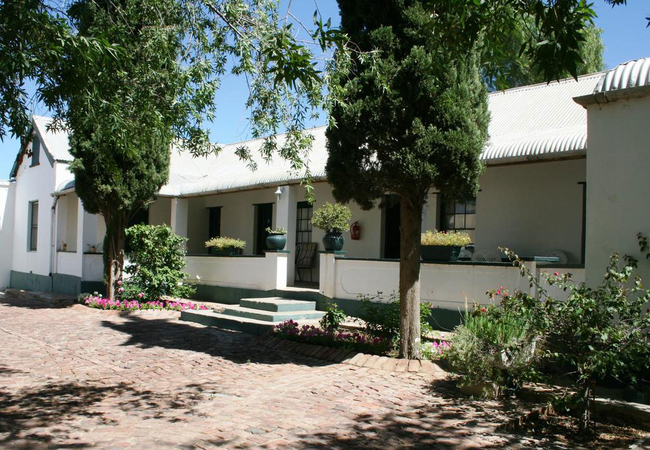
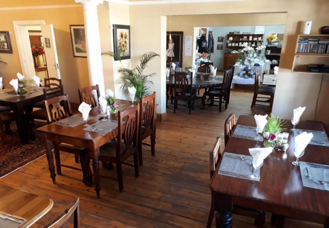
Royal Hotel Steytlerville offers bed only and self catering accommodation in Steytlerville. All rooms are offered on a ...
- free wifi
- pet friendly
- all ages welcome
- power stays on
- parking
- swimming pool
- from 1160
- R
- 1102
- per room per night
based on 2 persons
instant booking possible


Gamtoos Valley, Baviaanskloof Hotel
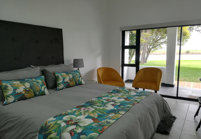
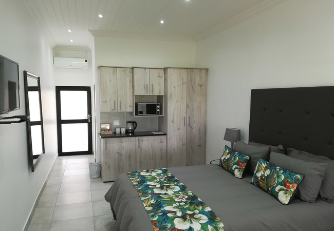
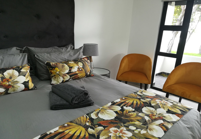
The Gamtoos Ferry HotelSleeps 12 people in 5 rooms
The Gamtoos Ferry Hotel can accommodate a total of twelve guests and is located 15km from Jeffreys Bay on the Sunshine ...
- all ages welcome
- parking
- from 1100
- R
- 1045
- per room per night
based on 2 persons
instant booking possible


Sleeps 47 people in 6 units
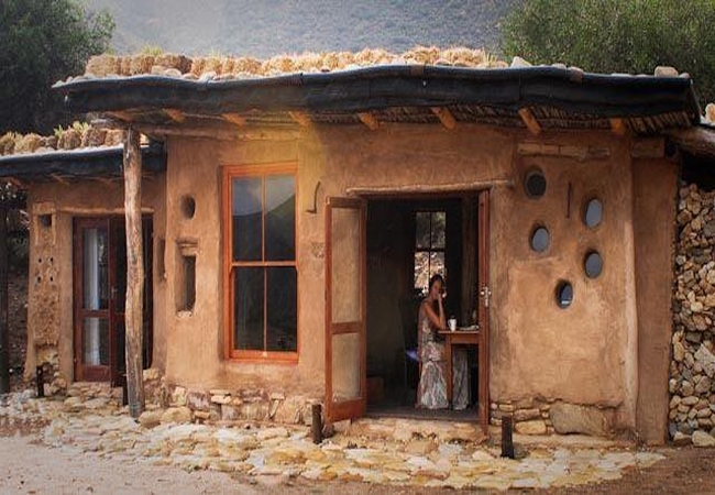
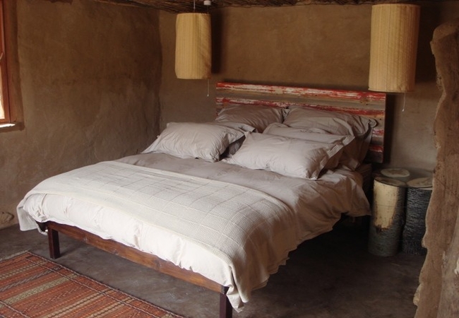
Go Baviaans offers a wide variety of accommodation options in the Baviaans World Heritage site at the base camp, close ...
- free wifi
- all ages welcome
- parking
- from 980
- R
- 931
- per room per night
based on 2 persons
instant booking possible



Thornhill, Baviaanskloof Self Catering
Taaibos at BergrivierSleeps 6 people in 1 unit
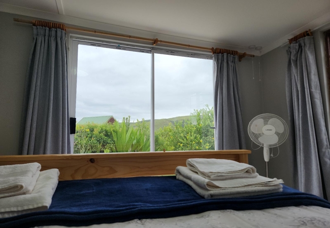
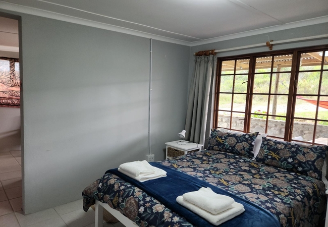
Taaibos can sleep six guests and enjoys spectacular views over the hills and valleys. The air conditioned unit has a ...
- free wifi
- all ages welcome
- parking
- aircon
- from 1400
- R
- 1330
- unit rate per night
for up to 6 people
instant booking possible


Sleeps 49 people in 19 units
Pabala Private Nature Reserve is situated in the Loerie, a malaria free area in the Eastern Cape. Accommodation is ...
- all ages welcome
- parking
- swimming pool
- from 885
- R
- 841
- per room per night
based on 2 persons
instant booking possible


Sleeps 23 people in 13 rooms
Ideally situated for stopovers when travelling from Gauteng to George, the Willow Historic Guest House offers ...
- free wifi
- pet friendly
- all ages welcome
- parking
- swimming pool
- aircon
- tonight from
- R
- 1290
- per room per night
based on 2 persons
instant booking possible


Sleeps 10 people in 3 units
Ox Wagons provide glamping accommodation in Thornhill at the Bergrivier Eco Retreat. Renew mind, body and soul in the ...
- free wifi
- all ages welcome
- parking
- from 800
- R
- 760
- per room per night
based on 2 persons
instant booking possible



Sleeps 12 people in 3 units
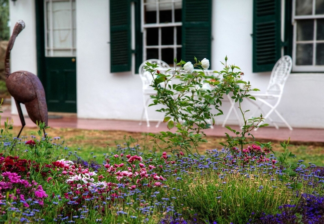
Situated on a working sheep farm just 2,5km outside Willowmore, Finchley Farm offers self catering accommodation ...
- free wifi
- all ages welcome
- parking
- swimming pool
- aircon
- from 800
- R
- 760
- per room per night
based on 2 persons
instant booking possible


Sleeps 2 people in 1 unit
Naguiltjie is a rustic Holiday Home in Thornhill which is fully equipped for self catering and has spectacular views ...
- free wifi
- all ages welcome
- parking
- aircon
- from 1300
- R
- 1235
- unit rate per night
for up to 2 people
instant booking possible


Thornhill, Baviaanskloof Self Catering
Wieliewaal at BergrivierSleeps 5 people in 1 unit
Wieliewaal is a cosy, log cabin which boasts stunning views of the valley. Accommodating four guests, the cabin has a ...
- free wifi
- all ages welcome
- parking
- aircon
- from 1300
- R
- 1235
- unit rate per night
for up to 5 people
instant booking possible


Thornhill, Baviaanskloof Self Catering
Kroonarend at Bergrivier Eco RetreatSleeps 8 people in 1 unit
Kroonarend is a perfect stone family chalet accommodating six guests and has spectacular views over the hills and ...
- free wifi
- all ages welcome
- parking
- aircon
- from 1400
- R
- 1330
- unit rate per night
for up to 8 people
instant booking possible


Sleeps 41 people in 11 units
Duiwekloof Lodge offers fabulous accommodation and camp sites in Baviaanskloof. The lodge offers fully self catering ...
- free wifi
- all ages welcome
- parking
- swimming pool
- from 1505
- R
- 1430
- per room per night
based on 2 persons
instant booking possible


Sleeps 6 people in 3 rooms
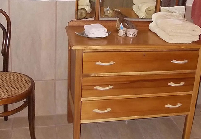
Steytlerville Villa Guest House offers a warm welcome in one of the towns historical buildings. We offer upmarket and ...
- free wifi
- pet friendly
- all ages welcome
- parking
- swimming pool
- from 980
- R
- 931
- per room per night
based on 2 persons
instant booking possible


Sleeps 12 people in 6 rooms
On the brim of the magnificent Baviaanskloof Mega Reserve in the heart of the citrus farming community of Patensie, ...
- free wifi
- pet friendly
- all ages welcome
- parking
- aircon
- tonight from
- R
- 800
- per room per night
based on 2 persons
instant booking possible


Sleeps 14 people in 7 rooms
Keurfontein Country House offers fine accommodation on the N9 between Willowmore and Uniondale easily accessible from ...
- free wifi
- pet friendly
- all ages welcome
- from 1400
- R
- 1330
- per room per night
based on 2 persons
instant booking possible


Sleeps 20 people in 4 units
InniKloof offers accommodation in two cottages, Geelhout and Melkhout. Each cottage has a large double bedroom as well ...
- all ages welcome
- parking
- swimming pool
- tonight from
- R
- 750
- per room per night
based on 2 persons


Steytlerville, Baviaanskloof Self Catering
ZandkraalSleeps 13 people in 1 unit
Zandkraal offers accommodation on a farm 7km from Marlu Farm Stays, halfway between Steytlerville and Willowmore, only ...
- free wifi
- all ages welcome
- parking
- tonight from
- R
- 750
- unit rate per night
for up to 13 people


Steytlerville, Baviaanskloof Guest House / Bed & Breakfast / Self Catering
Marlu Farm StaysSleeps 11 people in 3 units
Marlu Farm Stays is a Baviaanskloof Guest House conveniently located halfway between Steytlerville and Willowmore, only ...
- free wifi
- all ages welcome
- parking
- swimming pool
- tonight from
- R
- 950
- per room per night
based on 2 persons


Sleeps 20 people in 1 unit
Marlu Farm Stay Camping is located on a farm located halfway between Steytlerville and Willowmore, only 12 km off the ...
- free wifi
- all ages welcome
- parking
- tonight from
- R
- 425
- per room per night
based on 2 persons


Steytlerville, Baviaanskloof Guest House / Self Catering
Noorspoort Guest FarmSleeps 10 people in 4 units
Noorspoort offers affordable luxury accommodation, self catering units, a caravan park, bush camping, wedding venues ...
- free wifi
- all ages welcome
- parking
- swimming pool
- aircon
- tonight from
- R
- 1200
- per room per night
based on 2 persons
YOU ARE CURRENTLY BROWSING » South Africa » South Africa Accommodation » Eastern Cape Accommodation » Karoo Heartland Accommodation » Baviaanskloof Accommodation
Why book with SA-Venues.com
- Your card is safe with us; strictest card verification in the industry and we don't store card numbers.
- No airy fairy service fees; you save!
- We care. Service with integrity.
- Multiple payment methods:
credit card, SID instant EFT, bank transfer. - All Baviaanskloof property owners / managers are verified (our experience protects you from online fraud).
- Secure your booking
Destination Baviaanskloof
- By type in Baviaanskloof
- Baviaanskloof Accommodation
- Baviaanskloof Hotels
- Baviaanskloof Guest Houses
- Baviaanskloof Bed & Breakfast
- Baviaanskloof Self Catering
- & Holiday Apartments & Suites
- & Holiday Cottages & Chalets
- & Holiday Homes & Villas
- Baviaanskloof Conferences
- Baviaanskloof Weddings
- Baviaanskloof Honeymoons
- Destinations in Baviaanskloof
- Elands River Valley, Gamtoos Valley, Hankey, Loerie, Patensie, Rietbron, Steytlerville, Studtis, Willowmore
- Resources for tourists
- About Baviaanskloof
- Things To Do
- Attractions
-
Find and Book Your Perfect Baviaanskloof Accommodations
- We feature a range of places to stay to suit all travel needs and budgets. The Baviaanskloof Accommodation search facility is easy to use and you can make your accommodation booking online or request a quote from your chosen venues. Baviaanskloof accommodation establishments include self-catering, B&Bs, guest houses and hotels.
Frequently requested facilities are highlighted for each accommodation establishment when available to help you pinpoint appropriate venues, and reviews give you further insight.